
- Argentina beat Egypt 3-2 to reach World Cup quarter-finals |
- Bangladesh Leads South Asia in FDI Growth: UNCTAD |
- 3 flights diverted to Dhaka as rain disrupts operations at Ctg airport |
- Malaysia Reopens Labour Market for Bangladeshis |
- PM Assures Job to July Martyr's Mother During Meeting |
Scientists Warn of Possible ‘Super’ El Niño Formation
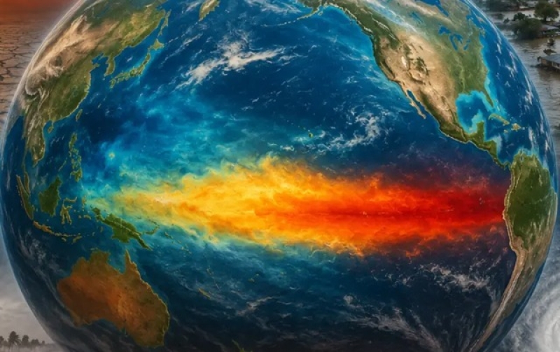
A potentially powerful El Niño event is rapidly developing across the Pacific Ocean, with forecasters warning it could intensify further, though its final strength remains uncertain.
Meteorologists say the tropical Pacific is already showing strong signs of a major warming event, but a key factor, the weakening of trade winds, has yet to fully emerge. These winds play a crucial role in either amplifying or limiting El Niño’s development.
Scientists describe the interaction between ocean temperatures and atmospheric conditions as highly complex, making long-range predictions difficult.
The US National Oceanic and Atmospheric Administration (NOAA) estimates about an 80% chance of El Niño forming by July. Sea surface temperatures in key regions of the equatorial Pacific are rising quickly, with a large mass of unusually warm water building below the surface.
Some weather agencies project that Pacific temperatures could climb 2.5°C or more above average later this year, a level associated with the strongest recorded events.
Only three past El Niño episodes in modern records, 1982–83, 1997–98, and 2015–16, have exceeded the 2°C threshold.
Experts say there is also a one-in-three chance the current system could reach or exceed that level, potentially qualifying as a “super El Niño.”
However, scientists caution that key atmospheric shifts have not yet fully developed. The strength of trade winds, which normally blow across the equator, will be critical in determining how the event evolves.
When these winds weaken, El Niño conditions typically strengthen through a feedback loop between the ocean and atmosphere. If they persist or intensify, the system could weaken or stall.
Researchers say this uncertainty makes it too early to predict whether the event will become record-breaking or remain moderate.
El Niño events usually peak around December, but their effects often extend well beyond, influencing global temperatures in subsequent years.
Several of the warmest years on record have followed strong El Niño episodes, including 1998, 2010, 2016, 2023, and 2024.
Climate scientists say global temperatures could reach new highs again in the coming years if a strong El Niño develops, especially as it interacts with ongoing climate change.
They also warn that even a weaker El Niño can produce more severe impacts today due to a warmer global baseline, increasing the risk of extreme heat, rainfall disruptions, and shifting weather patterns.
Typical El Niño effects include drought in parts of Australia, Indonesia and the Amazon, weaker monsoons in South Asia, and widespread changes in tropical rainfall.
Meteorologists note that climate change is also making forecasts more complex by altering ocean conditions and blurring the distinction between El Niño and its cooling counterpart, La Niña.
Despite uncertainties, forecasters agree that conditions are increasingly pointing toward the formation of a significant El Niño event in the months ahead.